

Home > Metuchen Edison History > History Features Index > 1881 Map
Home > Metuchen Edison History > History Features Index > 1881 Map
The 100 building lots of David G Thomas
Metuchen, New Jersey - 1881
The map is presented here in 3 sections for ease of viewing:
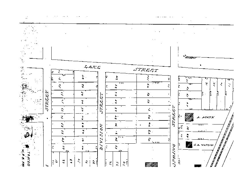
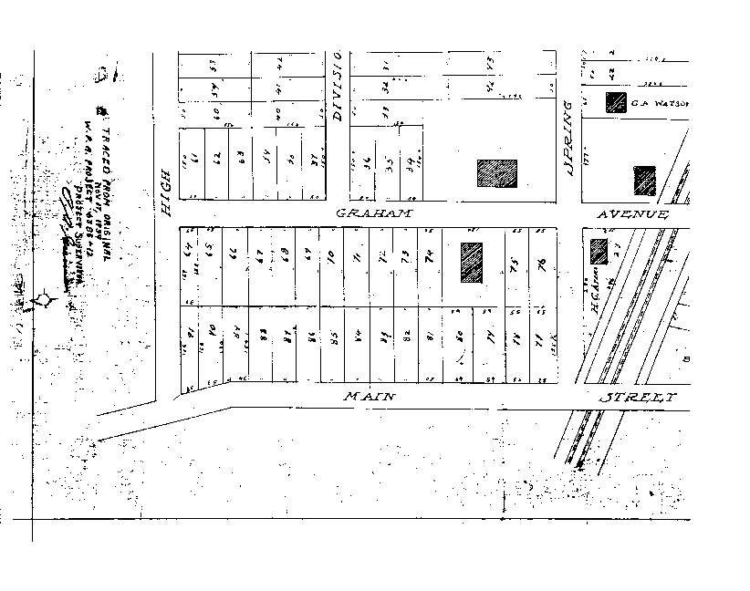
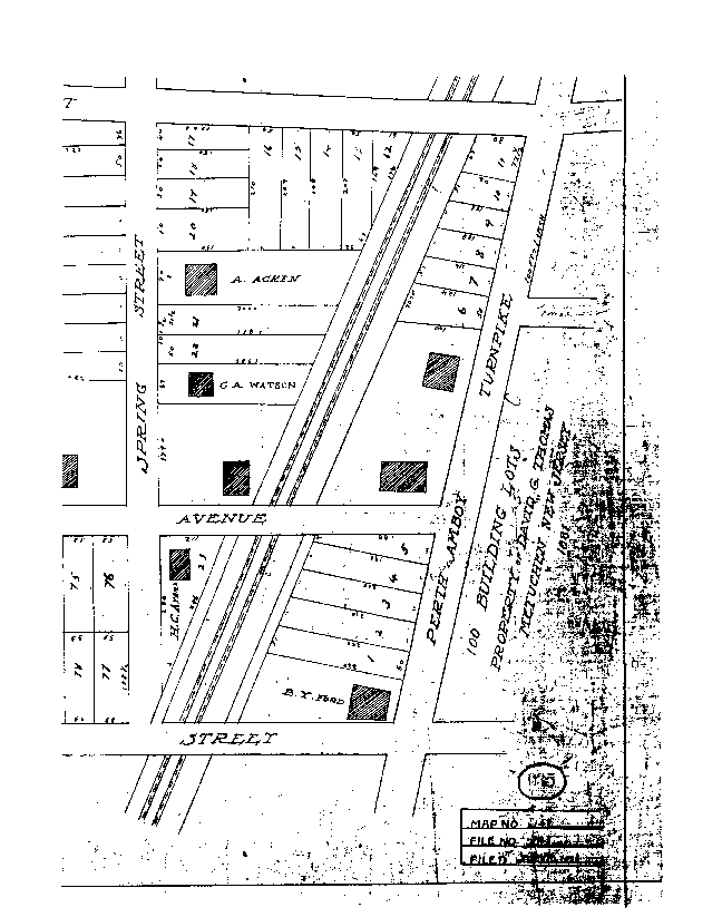
Nine structures back then... how many today? Some structures, like the Church on Amboy Avenue, have been replaced. Quite a few of the homes still exist. Some of the building lots remain vacant (Tommy's pond), while others have been divided further (junction of Spring and Graham, north and south corners). If you have more details, send them to us... add to the fun.
Metuchen Edison History Features page
Map courtesy of Rita Halpin
Last updated 6/29/99 by Jim Halpin